Click to read the article in Turkish
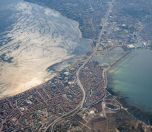
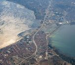
İstanbul Metropolitan Municipality analyzed the landslide risk zones in the city by districts. Accordingly, there are 267 landslide zones with 63 active zones on the route of Canal İstanbul, a planned waterway project between the Black Sea and the Sea of Marmara.
"İstanbul is located at a point where natural events can turn into disasters," the municipality said, noting that landslides can also occur after earthquakes.
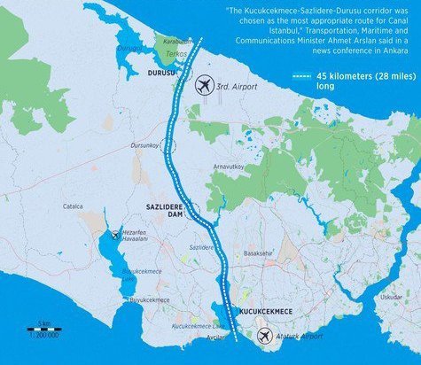
"267 landslide zones were identified in Avcılar, Küçükçekmece, Başakşehir and Arnavutköy districts on the route of the project. It was found that the majority of the landslides developed on the slopes along the canal route and 63 of them were active landslides," the report said.
According to the report prepared with a field work on a 4,621 square kilometer, there are a total of 1,094 landslide zones in the province and 357 of them are considered active zones.
The highest number of landslide zones are in Silivri with 121, Büyükçekmece with 116 and Beykoz with 104, according to the report.
Canal İstanbul project
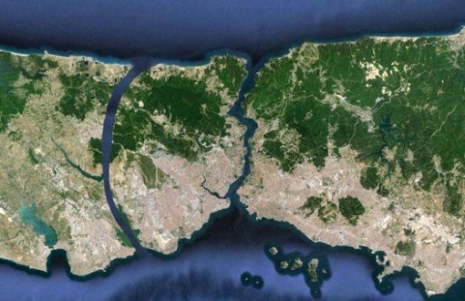
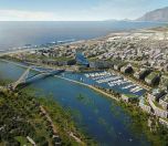
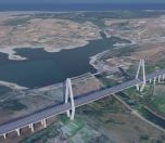
PPresident and ruling Justice and Development Party (AKP) Chair Recep Tayyip Erdoğan made a statement in 2011, when he was still the Prime Minister. In his speech, he mentioned "a new İstanbul" objective. Presented as a "crazy project", the plan referred to 'Canal İstanbul' for the first time. What is in the 'crazy project'?The basic information as to the project was shared with the public at a press conference in Haliç Congress Center in 2011. The plan foresaw an artificial sea-level waterway that would connect the Black Sea to the Sea of Marmara. The most important aspect of the project was the integration of transportation. The construction of 3rd Bosphorus bridge foreseen by the project has been completed. In May 2016, 32 articles of 20 laws were amended. An additional article added to the Pasture Law has paved the way for the region's zoning for construction. With another amendment introduced to the law, it has been understood that the access roads to the Canal İstanbul will be toll roads. Ahmet Arslan, the then Minister of Transportation, Maritime Affairs and Communications, announced the route of the project in 2018. He said that the canal would form an artificial waterway from the Black Sea to Marmara Sea, covering 45 kilometers from Küçükçekmece Lake through Küçükçekmece-Sazlıdere-Durusu corridor. The process of Environmental Impact AssessmentThe Board of Inspection and Survey of the Ministry of Environment and Urbanization approved the Environmental Impact Assessment (EIA) Report of the Canal İstanbul project on December 23, 2019. Accordingly, the report was presented to the public at the Ministry of Environment and Urbanization and İstanbul Provincial Directorate of Environment and Urbanization for 10 days. The citizens submitted petitions of objection against the project within this period. On January 17, 2020, Minister of Environment and Urbanization Murat Kurum announced that they approved the EIA report of Canal İstanbul. |
(SO/VK)




-132.jpg)