Photo: AA
Click to read the article in Turkish
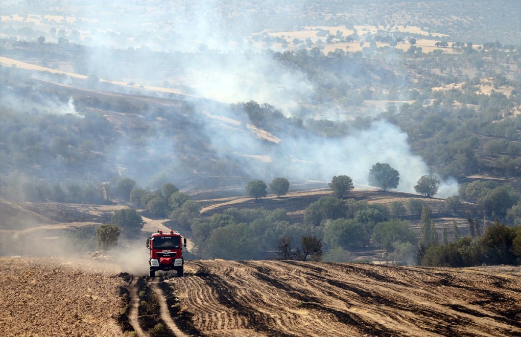
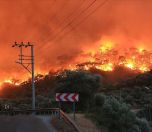
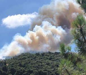
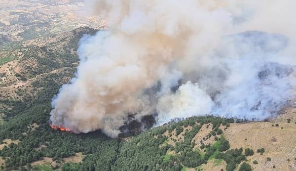
More than 83,000 hectares of forest burned across the country in the wildfires that started on July 28, according to a mapping study by the Gebze Technical University (GTÜ).
The university's Department of Geomatics Engineering used optical and thermal satellite images to map the burned areas in the Mediterranean and Aegean regions in the country's south and southwest.
The locations of the fires in Manavgat, Marmaris, Bodrum, Köyceğiz and Gündoğmuş were identified by using the data from NASA's MODI and NOAA satellites.
The changes in the regions were analyzed by using images obtained from the European Space Agency's (ESA) Sentinel-s satellite.
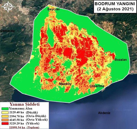
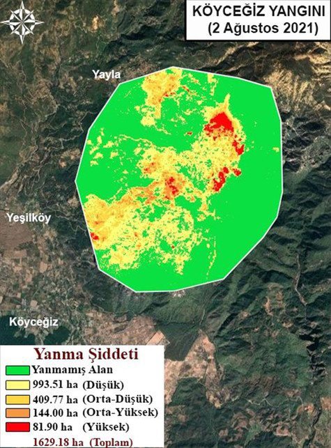
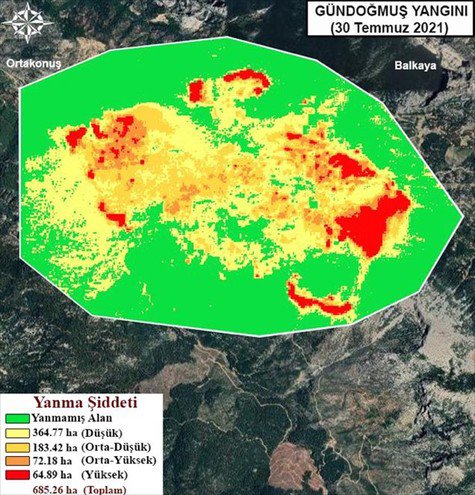
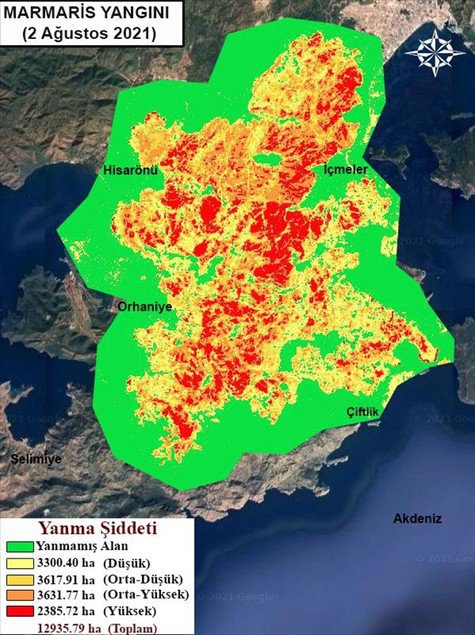
According to the analyses, a total of 83,810 hectares of forests burned in Antalya's Manavgat (56,663 hectares) and Gündoğmuş (685 hectares) and Muğla's Marmaris (12,935 hectares), Bodrum (11,898 hectares) and Köyceğiz (1,629 hectares).
The areas exposed to low burning intensity were calculated as 22,571 hectares, the areas exposed to medium burning intensity as 47,176 hectares and the areas exposed to high burning intensity as 14,064 hectares.
The largest wildfire recorded in Turkey was the 2008 Manavgat fire, where 16,000 hectares of land burned. In the 2021 fire, Manavgat lost nearly 57,000 hectares of forests.

(HA/VK)


